
Inmarsat’s helpマレーシア航空機の行方
2014年3月24日
Miwako's EYE
Miwako's EYE
この2週間マレーシア航空MH370の行方がわからず
落ち着かなかった人も多かったのではないでしょうか。
もちろん私もそのひとり。
今夜のニュースでイギリスのInmarsatという衛星コミュニケーションの会社が
当初からマレーシア政府の手助けをしており、
最終的にインド洋の南に墜落したと結論づけたようです。
The Telegraph誌によると、
“Inmarsat, the UK company that provided the satellite date
イギリスのInmarsat社が衛星のデータを提供した。
which indicated the northern and southern corridors,
それによるとひたと南の走路が示されており
has been performing further calculations on the data.
データの計算をしている。
Using a type of analysis never before used in an investigation of this sort,
この種の捜査ではかつてしようされたことがない分析を用い
they have been able to shed more light on MH370′s flight path.
MH370便の飛行経路をより明らかにすることができた。
“Based on their new analysis, Inmarsat and the UK Air Accidents Investigation Branch (AAIB) have concluded
同社の新しい分析に基づいて、Inmarsat社とイギリス航空事故調査部は結論づけた
that MH370 flew along the southern corridor, and that its last position was in the middle of the Indian Ocean, west of Perth.
MH370便は南の走路を飛び、最終位置はインド洋のまっただ中、Perthの西であったと。
This is a remote location, far from any possible landing sites.
この場所はどんな可能な着陸地点よりもはるかに遠い場所である。
It is therefore, … flight MH370 ended in the southern Indian Ocean.”
従ってMH370便はインド洋南に墜落した。
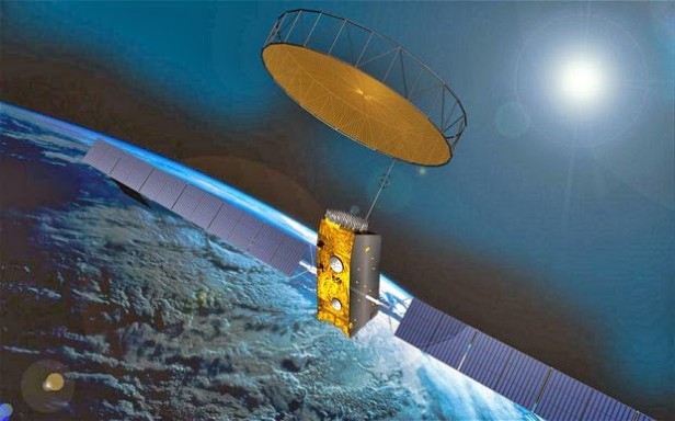
Inmarsat’s role in the search for Malaysian Airlines flight MH370 began immediately after the aircraft disappeared.
Inmarsat社はマレーシア航空が消息を絶ってから即座に捜索を始めた。
Although the main aircraft communications addressing and reporting system (which would usually transmit the plane’s position) was switched off,
同機の主要なコミュニケーションシステム(通常飛行機の位置を送信する)は
切られていたが
one of Inmarsat’s satellites continued to pick up a series of automated hourly ‘pings’ from a terminal on the plane.
Inmarsat社の衛星のひとつが、同機のターミナルから一時間ごとに児童に発せられる’ping’をずっと拾っていた。
*********
どんな事故でも悲惨ですが、
この地球上のどこに行ったか全く行方がわからないなんて
遺族の方は心にどう決着をつけていいかわからないでしょう。
飛行機が墜落したことがつしに確認されたからといって
心が休まるとは到底思いませんが、
テクノロジーがこれだけ発達している現在
これだけ時間がかかった問題の解決の決め手となった
Inmarsat社の存在を知ることができ、
なかなか興味深いと思いました。